GIS and Data-Driven models
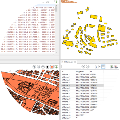
GAMA (GIS Agent-based Modeling Architecture) provides you, since its creation, the possibility to load easily GIS (Geographic Information System).
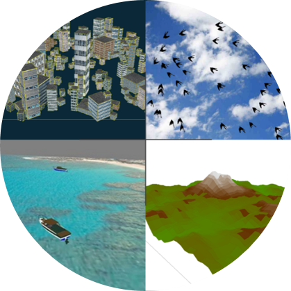
You can import a large number of data, such as text, files, CSV, shapefile, OSM (open street map data), grid, images, SVG, but also 3D files, such as 3DS or OBJ, with their texture.
Some advanced features provides you the possibility to connect GAMA to databases, and also to use powerful statistical tools such as R.
GAMA has been used in large-scale projects, using a great number of agents (up to millions of agents).


